Red Lodge, MT
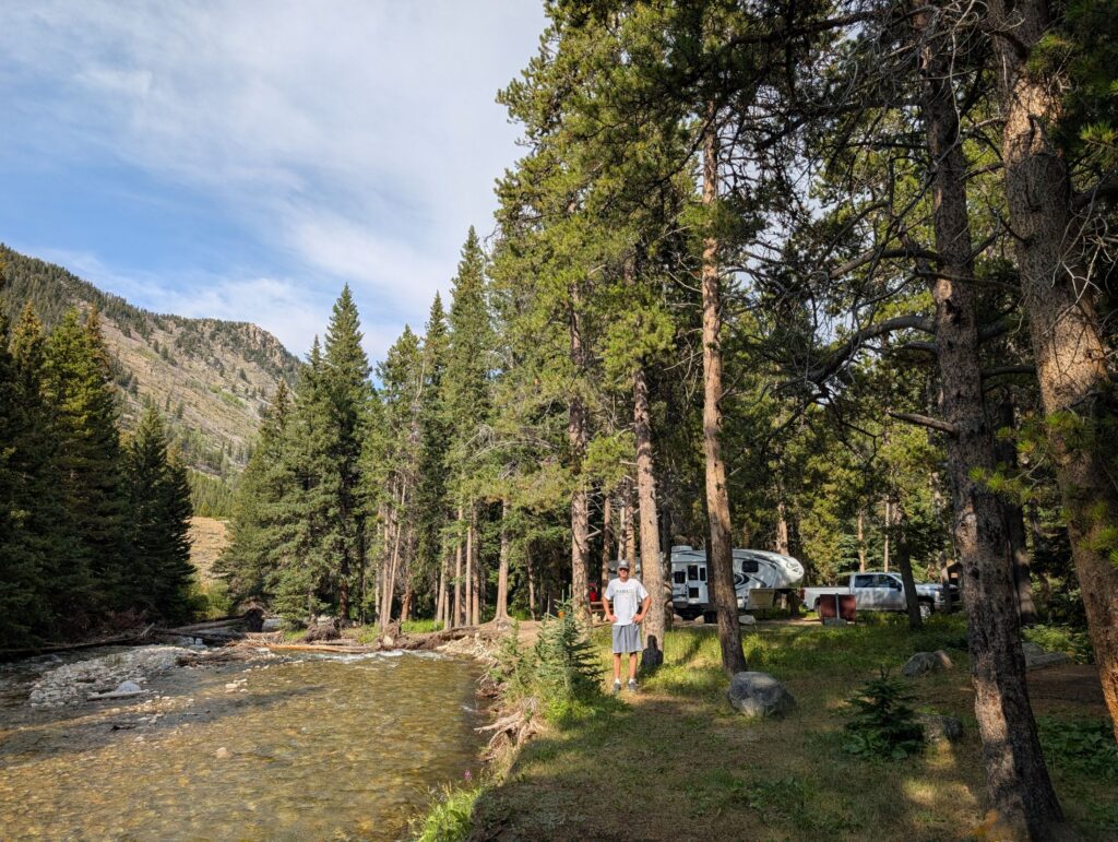
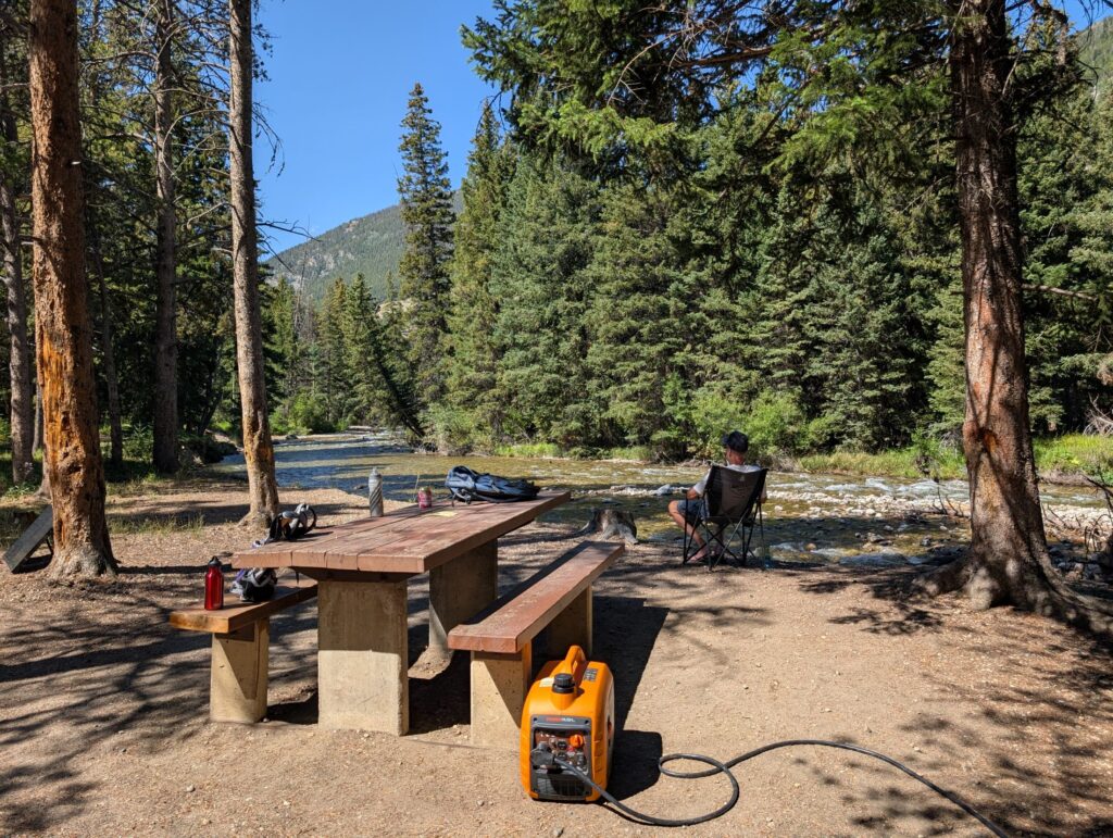
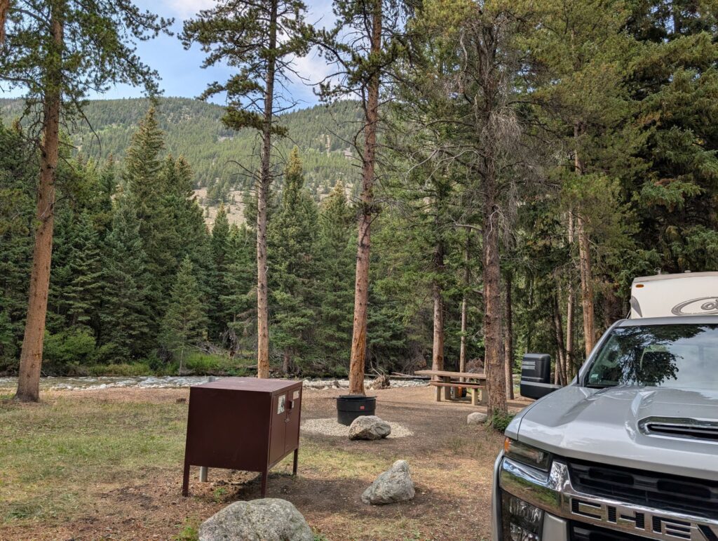
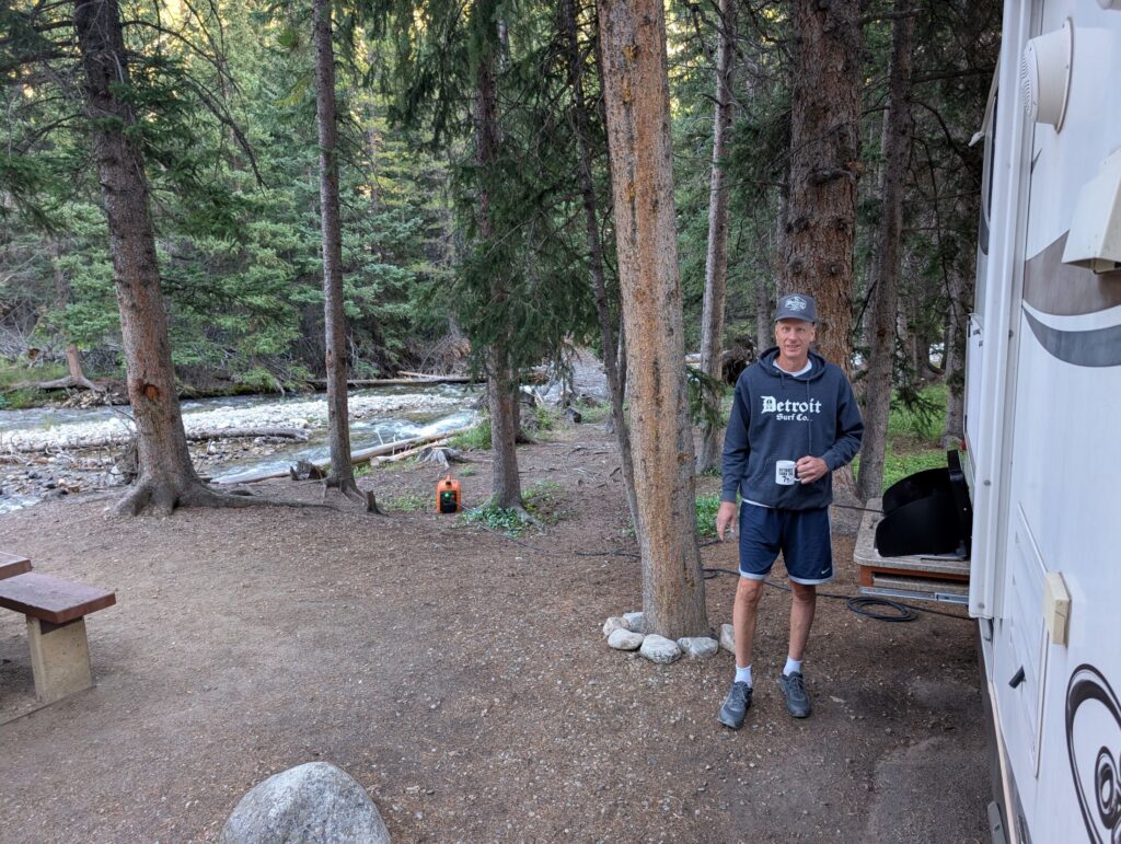
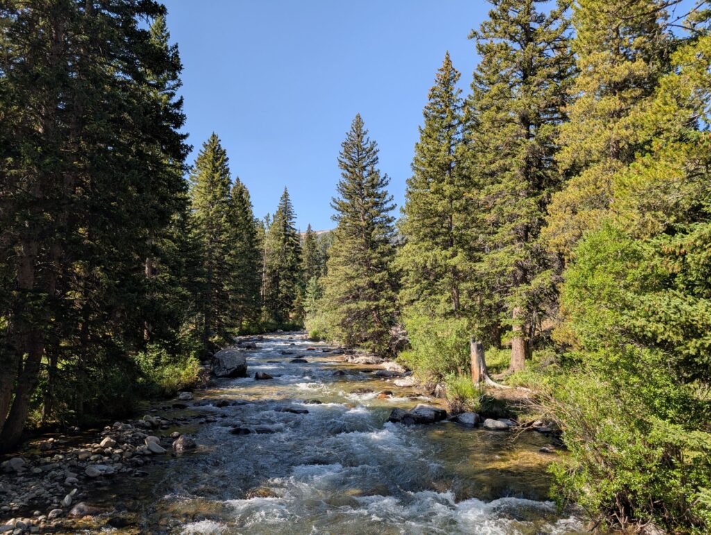
As we first drove into the campground and to our campsite, I was nearly overwhelmed by the beautiful roaring creek and the stunning views of the surrounding mountains, as well as the privacy and spaciousness. I immediately decided that I didn’t care if we ever left the campsite over the next four days we would be there. While I was thinking about that, Dave was working feverishly to back in to the campsite. The road and campsite configuration was probably the most difficult we’ve experienced. It was a narrow road and a sharp turn into the campsite, with trees preventing an easy back-in. After many attempts and some close calls with the trees, he finally made into the campsite. It was a relief, as I was really worried we would have to leave.
The first couple of days we did some shorter hikes from the campground. We met a guy who suggested we try the Glacier Lake hike. We also drove into the town of Red Lodge and had a beer at the microbrewery and picked up some groceries. I’m including more pictures of the campsite than I usually do because it was so beautiful.
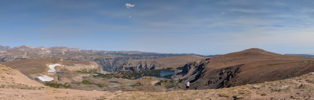
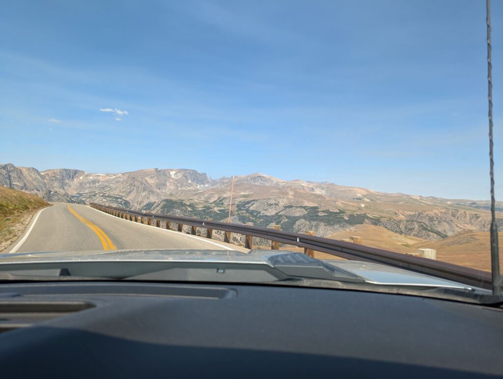
A drive to Beartooth Pass
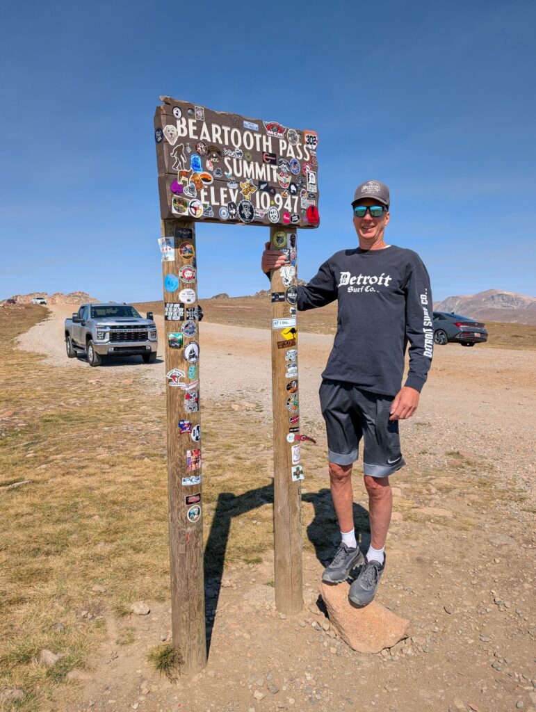
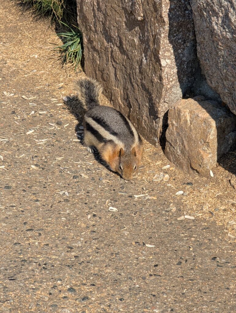
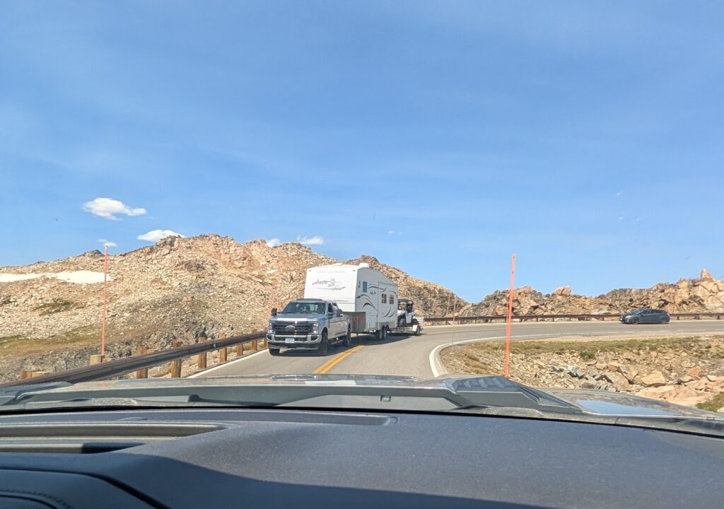
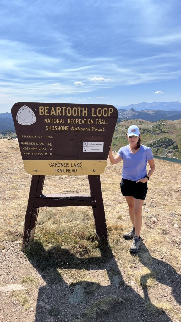
Beartooth highway is a 68-mile scenic highway running from Red Lodge to the north entrance of Yellowstone National Park. The highway is famous for being named “the most beautiful roadway in America” by travel journalist Charles Kuralt, in his 1979 book Dateline America. The highway’s highest elevation is at Beartooth Pass, elevation 10,947 feet. The scenery is spectacular and it’s very popular, including with motorcyclists and even RVs that probably shouldn’t be driving there. We spent about 3 hours driving over the pass and stopping at the many scenic overlooks. I really tried to capture, with pictures, how beautiful and expansive the views were and how scary the road is, but I did not succeed.
Glacier Lake hike
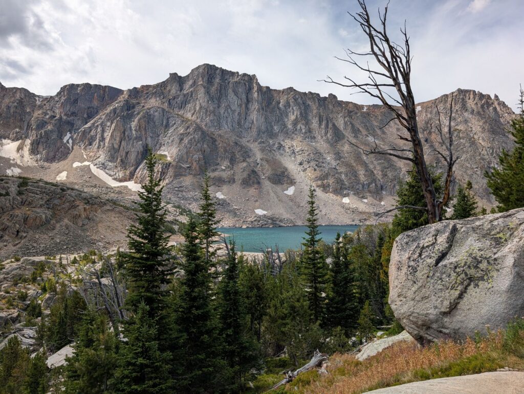
The Glacier Lake Trail is a 4.4 mile hike rated ‘Hard’ by AllTrails, the app we use to find and track our hikes. The app includes detailed descriptions of the trail, including reviews and uses GPS to track location and altitude. It even alerts you when you go off trail or miss a turn. We really took advantage of the AllTrails app on this trip, because it allows you to download trails in advance of going to remote areas, with no cell service. We would be spending a lot of time with no cell service and internet.
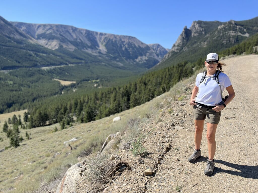
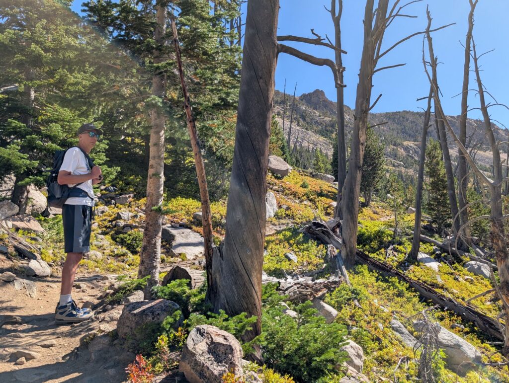
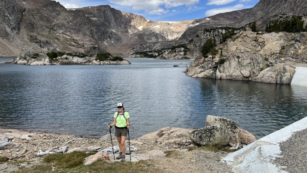
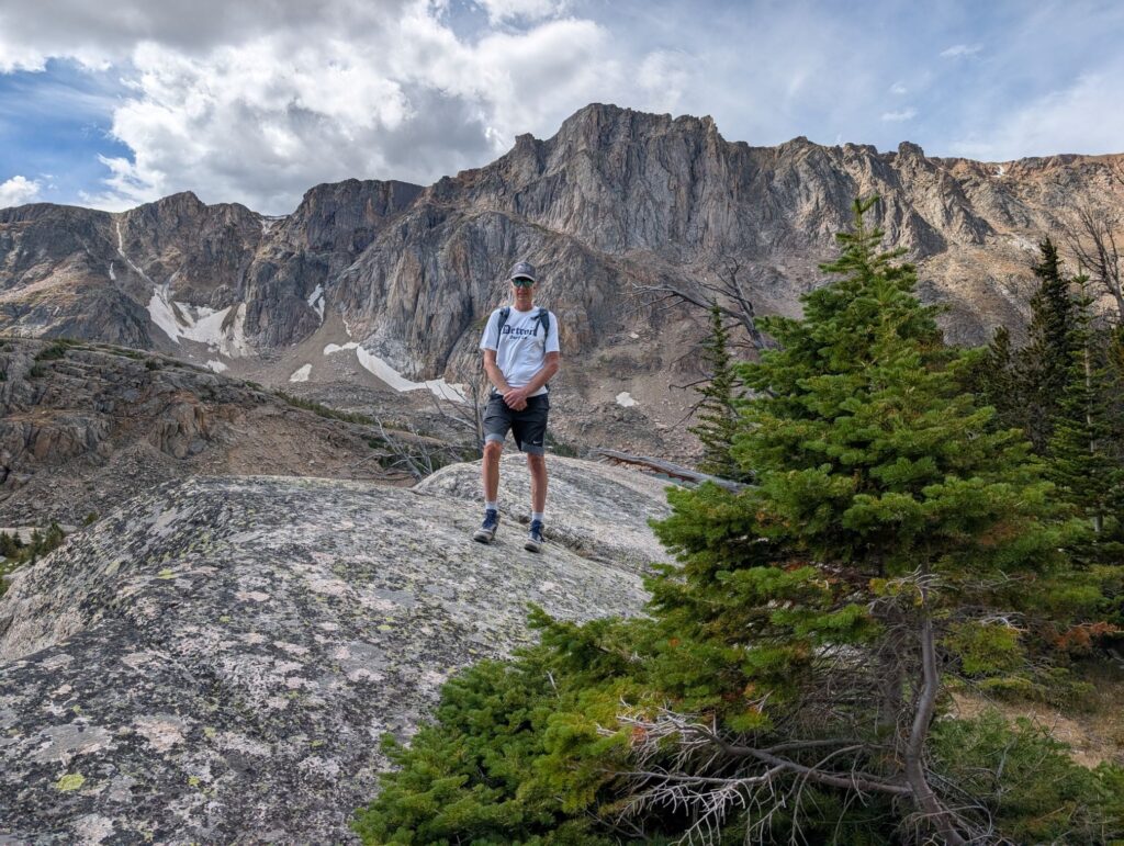
The hike is a fairly steep, continuous climb , a 1500 foot elevation gain, ending at Glacier Lake – elevation 9700 feet. I was in pretty decent shape and had been running regularly before the trip. That day, I was fighting off a cold or something with maybe a slight fever, and was not feeling 100% well. Also, I felt challenged by the altitude. I would not miss out on the hike, though. Over the years, Dave has become less and less patient, with the exception of when we are on a difficult high-altitude hike. As I have previously mentioned, altitude has little effect on him, a family trait he shares with his brothers. He patiently waits for me to take breaks on the way up, while I catch my breath and slow my heartrate. The views along the way were amazing, so we had plenty of opportunities to take them in.
I was definitely glad I made it to the beautiful lake and was even more happy when I finished the hike. I used my new hiking poles for the first time, and they allowed me to descend the steep terrain pretty quickly. Normally I would have to cautiously pick my way down a trail, being careful not to strain knees, slip or twist something. The poles allowed my to keep up with Dave and his super long legs, by assisting with balance and strain on my knees. I was moving as fast as I could because my legs and feet were killing me and I just wanted to be finished. We made it to the truck just as it started to rain. Back at the campground we spent the rest of the day relaxing by the beautiful creek.
Livingston, MT
We reserved a couple of nights at Olsen’s RV Park in Livingston, MT. We wanted to check out the town and have a couple of nights with power and laundry facilities. The highly manicured, tightly spaced campsites in a private campground can be good trade-offs for power, long, hot showers and laundry, after being off grid for awhile. I forgot to take a photo of the campsite, as I often do, when the campsite is nothing special.
Exploring Paradise Valley
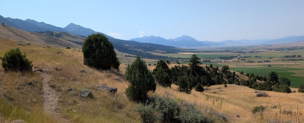
Paradise Valley is the fictional location of the Dutton Ranch, of the Yellowstone TV series. The real Paradise Valley is a scenic, mountainous area of ranch land, south of Livingston, MT, with the Yellowstone River running through it. We spent a day there, starting with a hike to Pine Creek Falls, starting at Pine Creek Campground. We knew the campground was popular, so we wanted to check it out. We didn’t book a campsite there, because campground reviews noted that the road into the campground was very steep and narrow. We were able to confirm that the one-lane road was, in fact, too steep and narrow for our 30-foot fifth wheel.
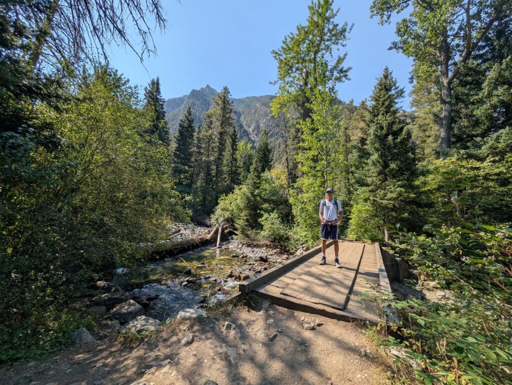
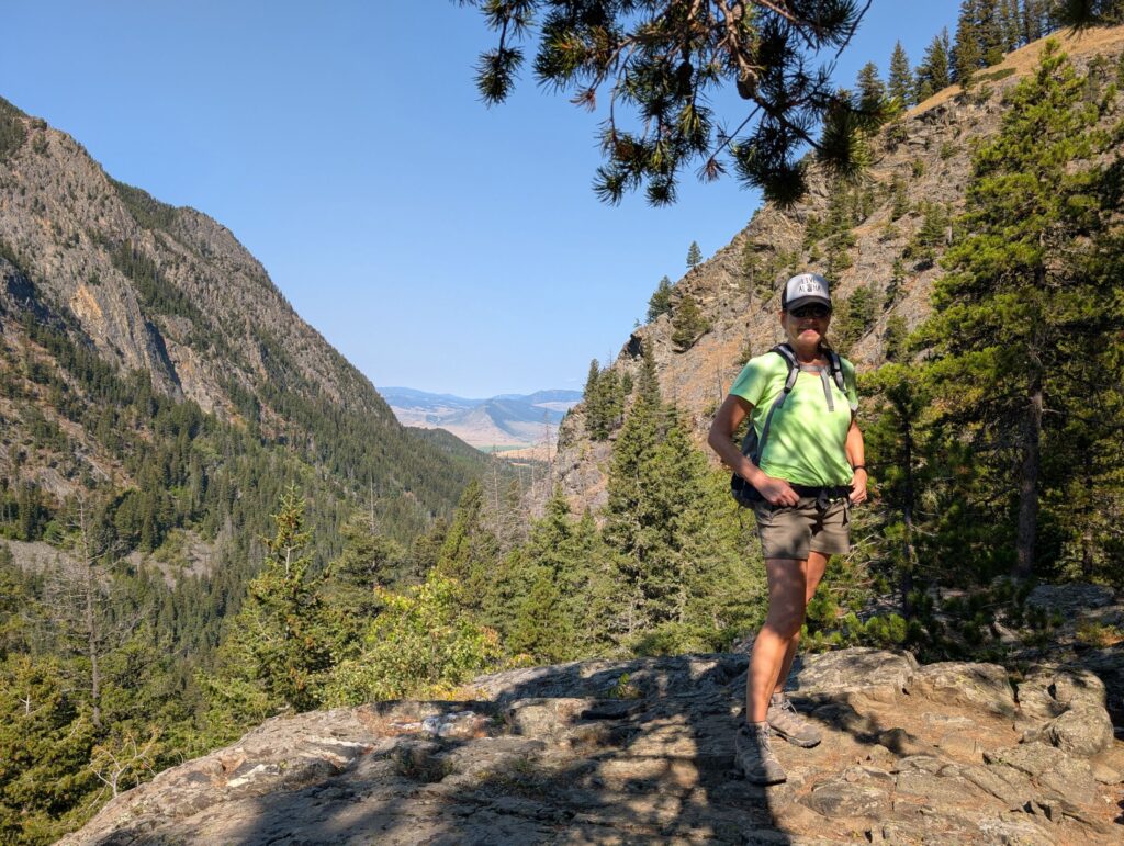
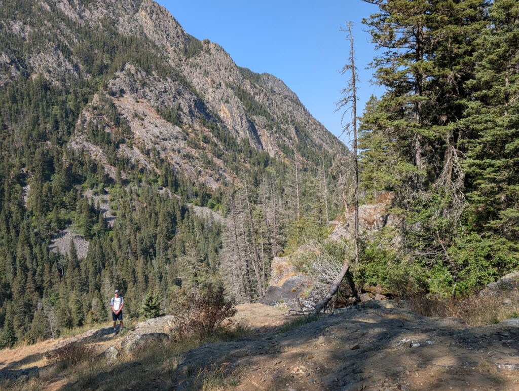
The hike was 3 miles, with a 740 ft elevation gain up to an elevation of 6,390. It is rated as moderate difficulty on AllTrails. It was significantly easier than Glacier Lake, plus I no longer felt sick. It was a little crowded, with a lot of groups and families. Everyone carried bear spray, including us.
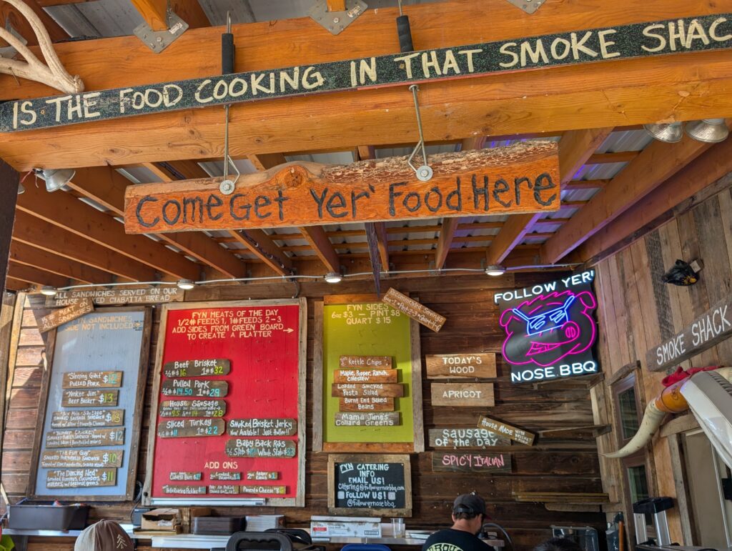
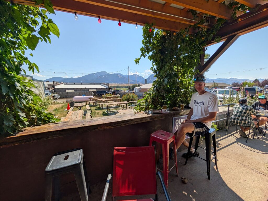
We were near Emigrant, MT, so we decided to go look for some lunch there. We planned to check out The Old Saloon, an historic bar that opened in 1902. They were setting up for a major event, so were closed. Just around the corner was Follow Yer’ Nose BBQ. Dave had some excellent brisket and I had the best grilled portobello sandwich of my life. On our way out, we bought some wonderful fresh bread at the Wild Flour Bakery next door.
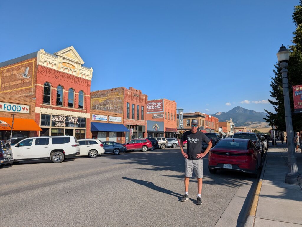
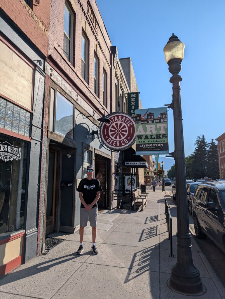
It was here that I learned about Katabatic winds. They are a common phenomenon in the area, caused by gravity pulling higher density air downslope to lower density air
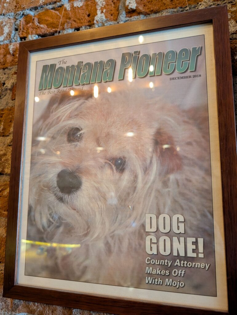
I regret not taking a picture of the actual dog, who was relaxing on his own barstool, while we were there.